Westervelt Mitigation Bank project
Mitigation Bank

Westervelt Mitigation Bank

Contact Us

Stream and Wetland Mitigation

The 287-acre bank provides compensatory mitigation for unavoidable stream impacts within the Lower Black Warrior watershed. It is located in the Fall Line Hills ecoregion, which lies within the Karst area characterized by sinkholes, underground streams, and caves.

The bank will protect the headwaters of Big Sandy Creek and is located just upstream of Big Sandy Spring, a local swimming hole. Historically, the land had been used for forestry and mining. As such, past land use practices had functionally removed much of the stream connectivity with the adjacent floodplain. Channel degradation continues to negatively influence stream functions and stability.

Location:

None, None

Credit Types:

Stream Credits

Acres:

448.6

Approving Agencies:

Alabama Department of Environmental Management Mississippi Department of Environmental Quality Mississippi Department of Marine Resources U.S. Army Corps of Engineers U.S. Environmental Protection Age

Service Area and Credits

Service Area

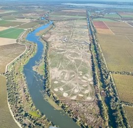
The service area for the Westervelt Mitigation Bank includes all or portions of Bibb, Greene, Hale, Marengo, Perry, Pickens, Sumter, and Tuscaloosa Counties

Credits

WES wants to answer all your questions related to compensatory mitigation. Whether you have issues related to service areas, credit types, ratios, or agency approvals, we are here to help.

Have questions about the service area or purchasing mitigation credits?

Please contact our sales team.


Inquire About Credits