Thompson Wetland and Stream Mitigation Bank project
Mitigation Bank

Thompson Wetland and Stream Mitigation Bank

Contact Us

Wetland and Stream Restoration

The Thompson Wetland and Stream Mitigation Bank is an approximately 56.2- acre restoration site located in Flathead County, Montana in the scenic Thompson River Valley. The Bank restores over 5,000 linear feet of riparian habitat re-establishes and enhances 20.94 acres of wetlands, and preserves 24.2 acres of upland habitat along the Thompson River. When complete, the project will improve water quality, increase floodplain connectivity, and support species biodiversity.

WES will excavate and grade the existing stream banks, which have been eroded and manipulated over time. Our team will remove earthen berms on the site, reconnecting the river to the floodplain. In addition, WES will reduce invasive species on the site, supporting native wetland vegetation, including grasses, sedges, and rushes. These efforts will improve water quality and create structurally diverse habitats that support native wetland and riparian plant communities.

Location:

Lincoln County, MT

Credit Types:

Wetland Credits Stream Credits

Acres:

52

Approving Agencies:

U.S. Army Corps of Engineers and U.S. Environmental Protection Agency

Service Area and Credits

Service Area

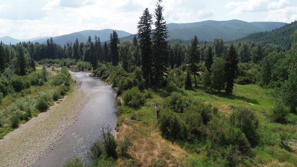
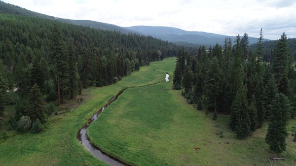
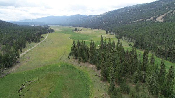
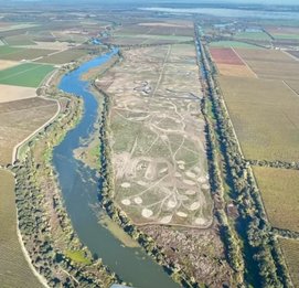
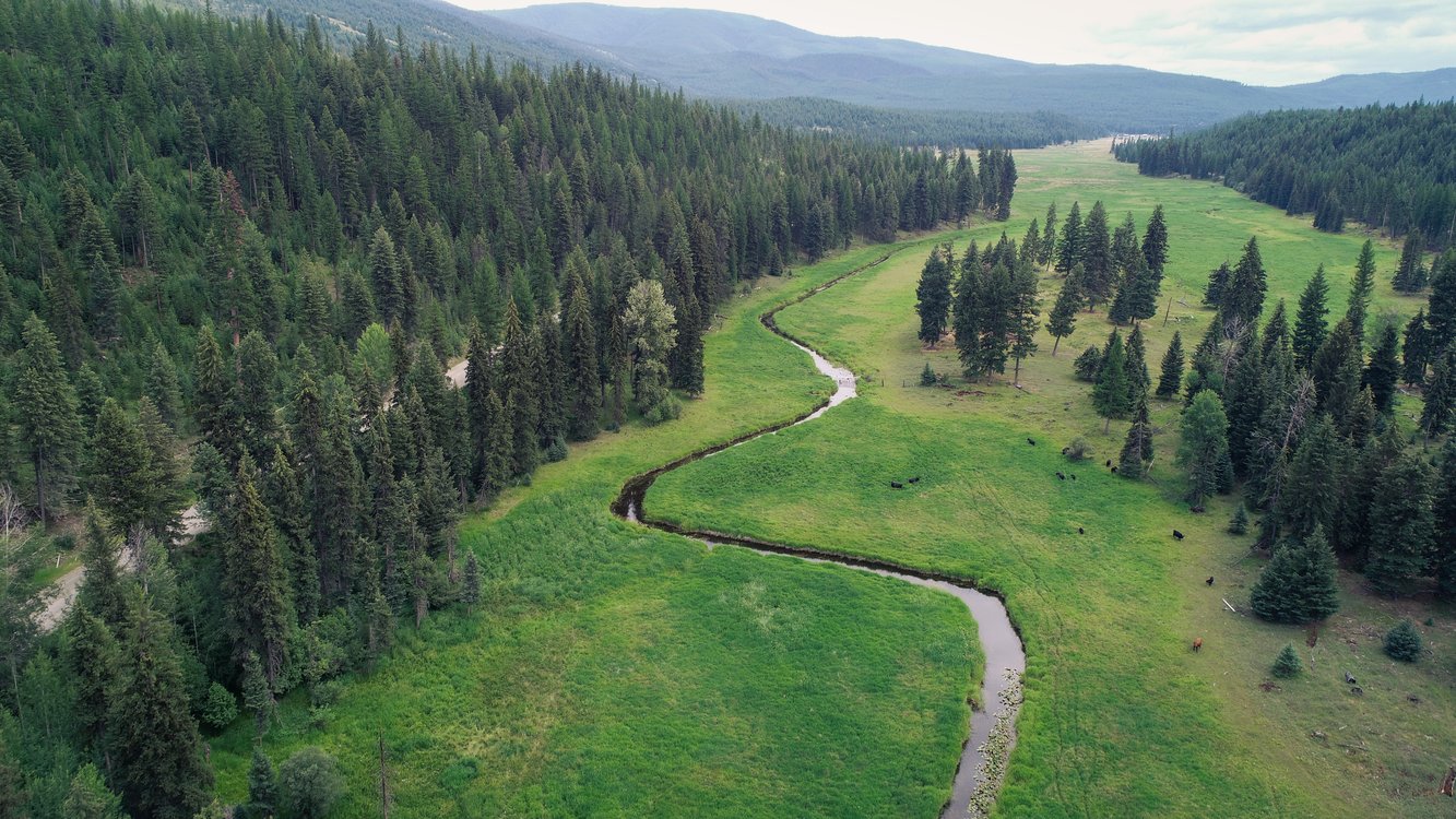
The primary geographical service area for this bank is the Montana Lower Clark Fork (#3) Watershed District. TheLower Clark Fork Watershed District wholly includes the following 8-digit HUC watersheds: Lower Clark Fork (HUC 17010213), Lower Flathead (HUC 17010212), Middle Clark Fork (HUC 17010204), and Bitterroot (HUC 17010205).

Credits

Have questions about credits or the service area?

WES wants to answer all your questions related to compensatory mitigation. Whether you have issues related to service areas, credit types, ratios, or agency approvals- we are here to help.

Please contact our sales team for additional information.


Inquire About Credits