Sipsey River Mitigation Bank project
Mitigation Bank

Sipsey River Mitigation Bank

Contact Us

Bottomland Hardwood and Stream Restoration

The Sipsey River Mitigation Bank is about 20 miles west of Tuscaloosa, Alabama and is the first bank approved to provide wetland and stream compensatory mitigation credits in the Sipsey River watershed (03160107). This is WES’ fourth mitigation bank in the Black Warrior-Tombigbee Basin. The SRMB totals 517 acres and includes over 25,000 linear feet of streams. The USACE approved mitigation credits for 501 acres of enhancement in bottomland hardwood wetlands and hardwood uplands and 8,800 linear feet of restoration in intermittent streams.

Location:

Greene County, AL

Credit Types:

Bottomland Hardwood, Stream

Acres:

517

Approving Agencies:

Alabama Department of Environmental Management, U.S. Army Corps of Engineers, U.S. Environmental Protection Agency, U.S. Fish & Wildlife Service

Service Area and Credits

Service Area

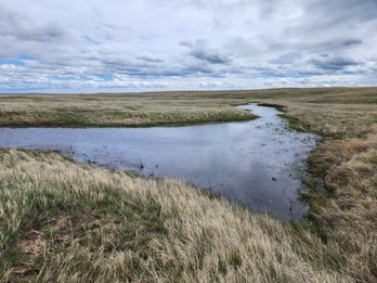
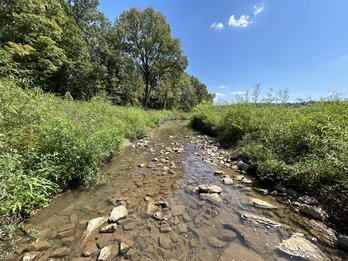
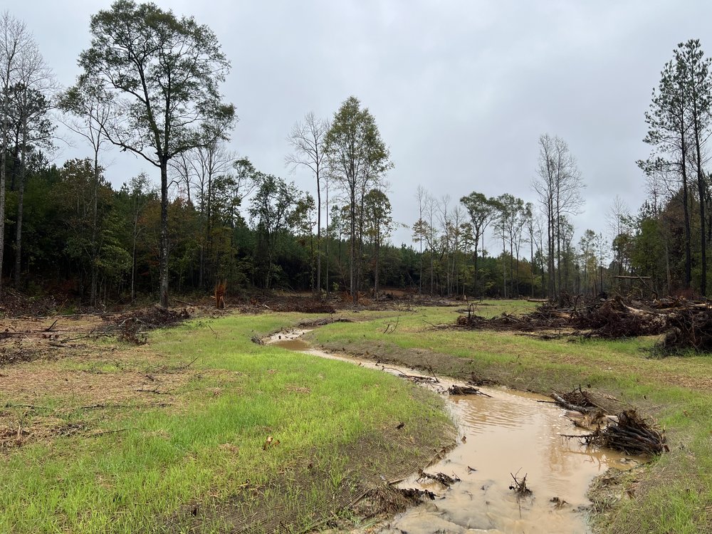
The primary service area for Sipsey River includes all portions of Fayette, Greene, Marion, Pickens, Tuscaloosa, Walker, and Winston Counties, within HUC 03160107.

Credits

Have questions about purchasing mitigation credit or the project service area?

Please contact our sales team for additional information.


Inquire About Credits